UPDATE: Approximately 72 million Americans are facing severe holiday travel disruptions as a massive weather system sweeps across the nation. Wind alerts span from the High Plains and Rocky Mountains to the Northeast, with powerful gusts and snow expected to impact travel plans throughout the holiday weekend.
A storm system is moving eastward through the northern Great Lakes and extending down to the Southeast, with wind gusts potentially reaching up to 60 mph in certain areas. The most intense conditions will hit regions across Appalachia, New England, and coastal Maine. Rain and wind will continue to affect communities from Washington, D.C. to Boston until this evening.
Significant disruptions are anticipated on the West Coast, especially in California, during the crucial Christmas week. After narrowly avoiding severe storms that devastated the Northwest with relentless rain and flooding, California is bracing for a dramatic change as the storm pattern shifts southward. A series of storms will unleash heavy downpours across the state from this weekend through the Christmas week, leading to urban flooding, small-stream overflows, and potential river flooding. Lower and mid-level areas could see several inches of rain, with the heaviest totals expected on west- and southwest-facing mountain slopes.
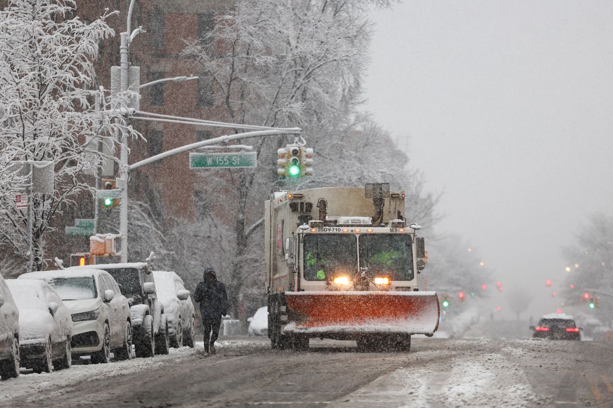
Airports in the Northeast may experience substantial delays due to adverse weather conditions, as lake-effect snow blankets the region before conditions improve later today. AccuWeather Senior Meteorologist Adam Douty warns, “A somewhat larger clipper storm will affect parts of the Upper Midwest and Northeast from Monday to Tuesday.” Tuesday is poised to be the most challenging day for weather-related travel disruptions, particularly for areas from Pennsylvania’s Pocono Mountains through upstate New York and into central and northern New England.
In the higher elevations of the Sierra Nevada and to some extent the Cascades, multiple feet of snow are expected, with snow levels dipping to pass levels, potentially impeding travel. AccuWeather Chief On-Air Meteorologist Bernie Rayno emphasizes the urgency, stating that “calm weather is expected this weekend, aside from lingering winds and snow in the Great Lakes area.”
Meanwhile, states avoiding the wintry blast are on track for one of the warmest Christmases on record, with temperatures soaring into the 70s and 80s Fahrenheit across at least a dozen states. Record-breaking warmth is anticipated from Texas to Missouri and Georgia on both Christmas Eve and Christmas Day.
For those in New York City, hopes for a white Christmas may be dashed. The holiday is expected to be dry and comfortable, with temperatures in the mid-40s. However, there is a slim chance of light snowfall early this week. AccuWeather.com Senior Meteorologist John Feerick notes, “There is a chance for a little bit of snow later Monday night into Tuesday morning. But any accumulation is likely to melt by Christmas.”
Historically, a white Christmas in New York City is rare, with the last significant snowfall on Christmas Day occurring in 2002, when 5 inches fell in Central Park. In the last 156 years, there have been only six instances of over an inch of snowfall on Christmas Day.
As the holiday season approaches, travelers are urged to stay updated on weather conditions and prepare for potential delays. With 72 million Americans affected, the impact of this winter storm could be felt far and wide. Stay tuned for further updates as this situation develops.


