UPDATE: A significant winter storm is currently battering New Jersey, with forecasts predicting snowfall totals between 5 to 9 inches across the northern regions tonight. Heavy snow bands, capable of accumulating at rates of up to 1 inch per hour, are expected to continue into the early hours of Saturday, January 6, 2024.
The National Weather Service has issued winter storm warnings for 11 New Jersey counties where the heaviest snow is anticipated. Additionally, winter weather advisories are in effect for 8 other counties, warning of hazardous sleet and freezing rain conditions that could create dangerous ice on the roads.
Snowfall is expected to peak between 7 PM and 11 PM, causing widespread travel disruptions due to reduced visibility and snow-covered roads. Authorities are urging residents to avoid unnecessary travel during this critical period.
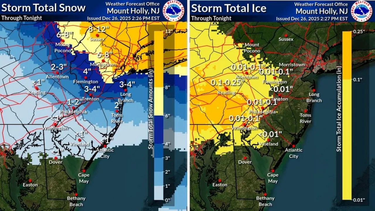
Accumulations will vary significantly across the state, with AccuWeather predicting total snow and sleet accumulations between 3 to 6 inches in many areas, and even 6 to 12 inches in higher elevations. Specific forecasts for various regions include:
– **Northern Counties:** Total snow accumulations expected to reach 6 to 9 inches until 1 PM Saturday.
– **Mixed Precipitation Areas:** Snow and sleet accumulations between 4 to 7 inches with light ice glaze until 10 AM Saturday.
– **Southern Areas:** Snow and sleet accumulations of 1 to 3 inches, with minor ice accumulation also expected.
The storm’s impact will not only be felt in terms of snowfall. Areas with a fresh snowpack may remain below freezing all day Saturday, with lingering light snow showers or flurries expected through midday.
As conditions improve Sunday, high pressure will bring a brief respite, but temperatures will remain cold, dipping to the teens inland and low 20s along the coast overnight. Sunday night, rain is expected to develop, with the potential for brief freezing rain in interior regions before temperatures rise above freezing.
Looking ahead, Monday is anticipated to be milder, with highs reaching the upper 40s to lower 50s, but a strong cold front may introduce gusty winds exceeding 40 mph along with additional rain.
Given the storm’s severity, residents are advised to remain vigilant and prepared for rapidly changing weather conditions. Stay tuned for official updates from the National Weather Service and local authorities as this situation develops.
Share this urgent update to keep others informed about the severe weather in New Jersey!